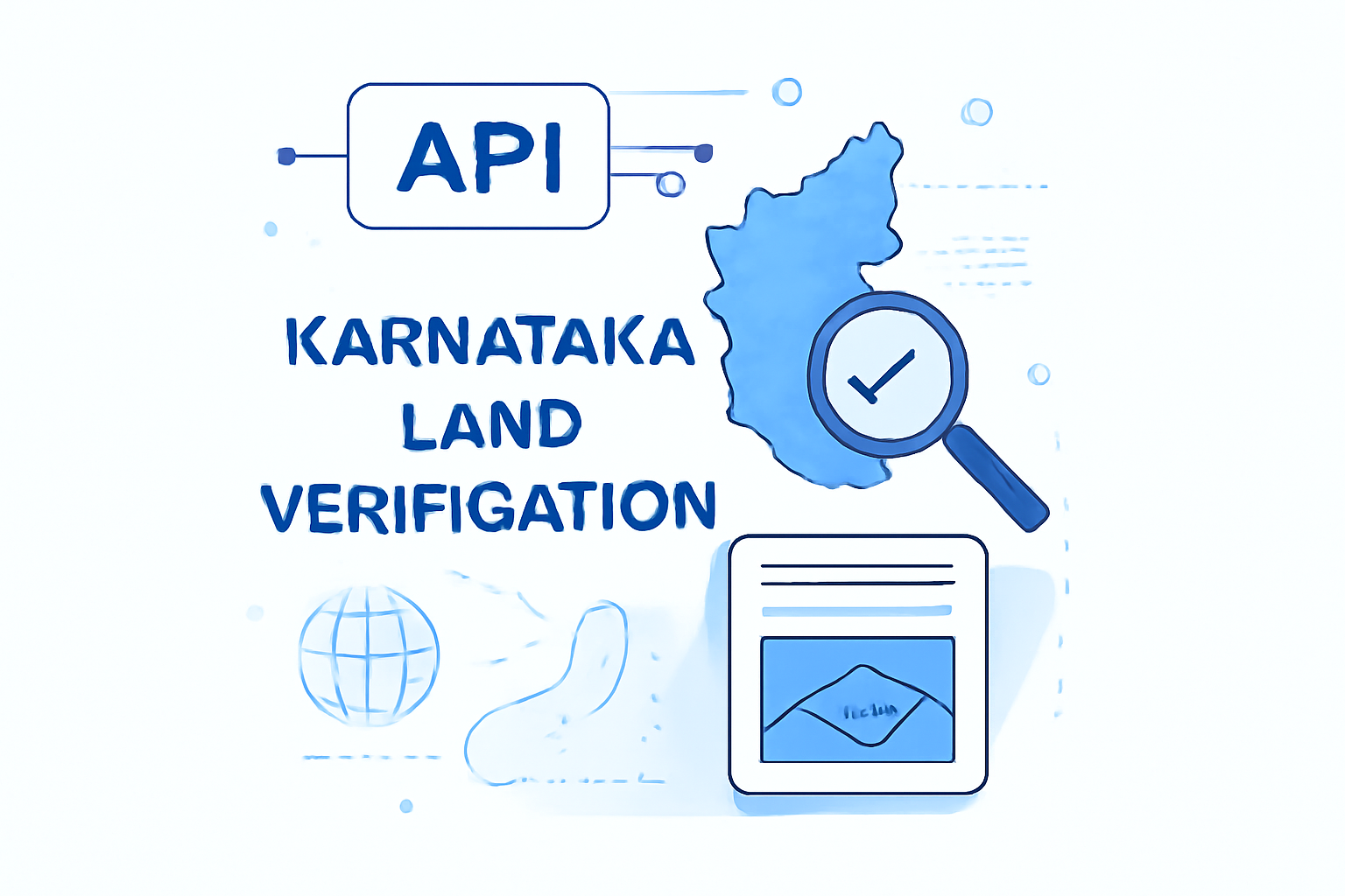
Karnataka Land Verification API Category
Overview#
The Karnataka Land Verification API category provides a comprehensive suite of tools for verifying and retrieving land records specific to Karnataka state in India. These APIs enable developers to access official land ownership data, property boundaries, and related geographic information from Karnataka's land record database. This category streamlines the process of land verification, helping businesses and individuals validate property ownership, check land details, and retrieve accurate geographic information for properties across Karnataka.Parent Category: Land Verification
Child Categories: Karnataka Land Verification
APIs in this category: District List, Taluka List, Hobli List, Village List, Karnataka Land Verification
Key Capabilities#
Main Functionality
This category provides authenticated access to Karnataka's land records database, allowing applications to verify property ownership, retrieve geographic boundaries, and access administrative divisions for land parcels throughout the state.
Geographic Data Retrieval
Access comprehensive hierarchical geographic data including districts and blocks (talukas) across Karnataka to accurately locate and identify land parcels.
Land Record Verification
Verify land ownership details, survey numbers, and property boundaries against official Karnataka government records to confirm legal status.
Administrative Boundary Information
Retrieve administrative boundaries and jurisdictional information for land parcels to determine the governing authorities and applicable regulations.
Common Use Cases#
Due diligence verification before property transactions
Automated property listing validation for real estate platforms
Title insurance risk assessment for lenders and insurers
Integration Considerations#
Best Practices
Cache district and block data to minimize API calls for frequently accessed regions
Implement proper error handling for cases where land records may be incomplete
Use the hierarchical data structure (district → block → land details) for efficient data retrieval
Store verification results with timestamps to track when verifications were performed
Land record data is refreshed periodically from government databases and may not reflect very recent changes
Some remote areas may have less detailed or digitized records
API responses may be slower during peak government working hours
Authentication and proper authorization are required for accessing sensitive land record data
How APIs in this Category Work Together#
The Karnataka Land Verification APIs work together in a hierarchical flow, starting with geographic division selection and narrowing down to specific land parcel verification. This structured approach ensures efficient and accurate land record retrieval.Key Integration Patterns:District List + Block List: Retrieve the administrative hierarchy to build location selectors in your application
Block List + Karnataka Land Verification: Use block (taluka) information to narrow down and verify specific land parcels
District List + Block List + Karnataka Land Verification: Create a complete end-to-end workflow for land verification starting from region selection
Land Verification: The parent category containing verification services for multiple states and regions across India
Property Valuation: Complementary APIs that can use verified land records to estimate property values
Geospatial Services: APIs that provide mapping and visualization capabilities for land boundaries and locations